Ilha do Massangano
A place of folk traditions and a strong community bond with the São Francisco River.

Find your way and discover the charms of each municipality!
Águas e Vinhos brings together six municipalities in Pernambuco’s Sertão, with attractions and experiences spread across different areas.
To make your trip easier, consult the region’s tourist map and identify the municipalities, the routes and the main places to visit.
See where the routes run:
The map will let you locate the attractions, see how they are spread across the region and plan your travel between municipalities.
Use the location tools to find islands, wineries, communities, historic heritage sites, businesses and other points of tourist interest.
Explore the map, choose your destinations and chart your own course through the Sertão!
River course and map: © OpenStreetMap contributors · Protomaps
No attractions match these filters.
A place of folk traditions and a strong community bond with the São Francisco River.
Artisanal production that reveals the flavours and know-how of the Sertão.
A river island where the natural landscape meets the culture and way of life of its community.
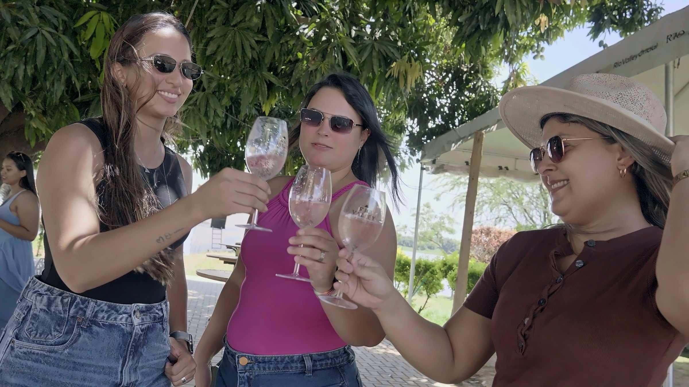
An invitation to walk the vineyards and discover tropical wine production in the Sertão.
Visits by arrangement
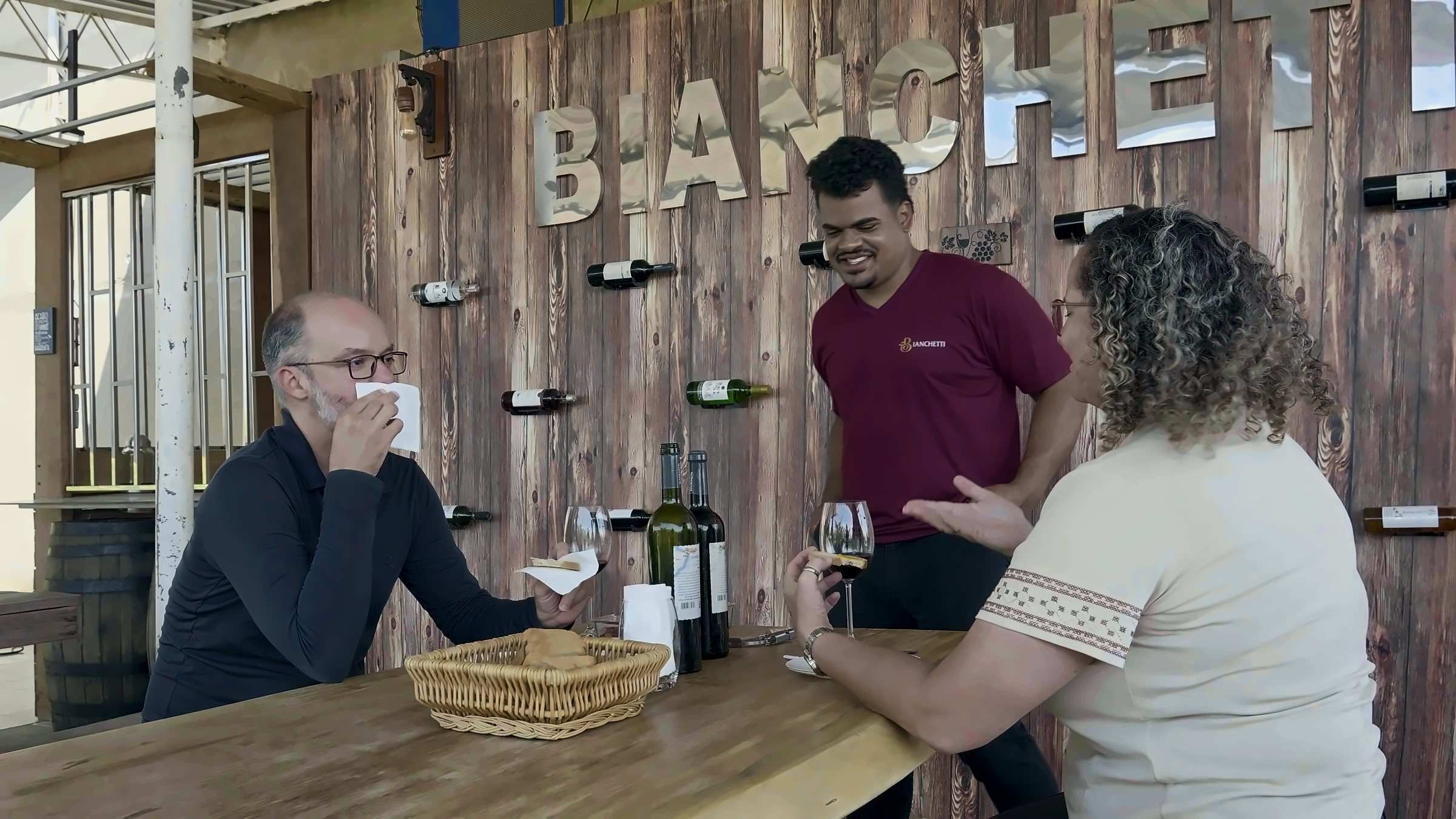
A chance to get to know the world of winegrowing in the São Francisco Valley.
Visits by arrangement
One of the winery visits and wine tourism experiences in Lagoa Grande.
Visits by arrangement
Crafts and creativity from Lagoa Grande.
A quilombola community that shares its stories through community-based tourism experiences.
Traditional community: visits are arranged with residents.
An experience that brings together local food, music and traditions.
The town’s historic centre, with its heritage on the riverbank.
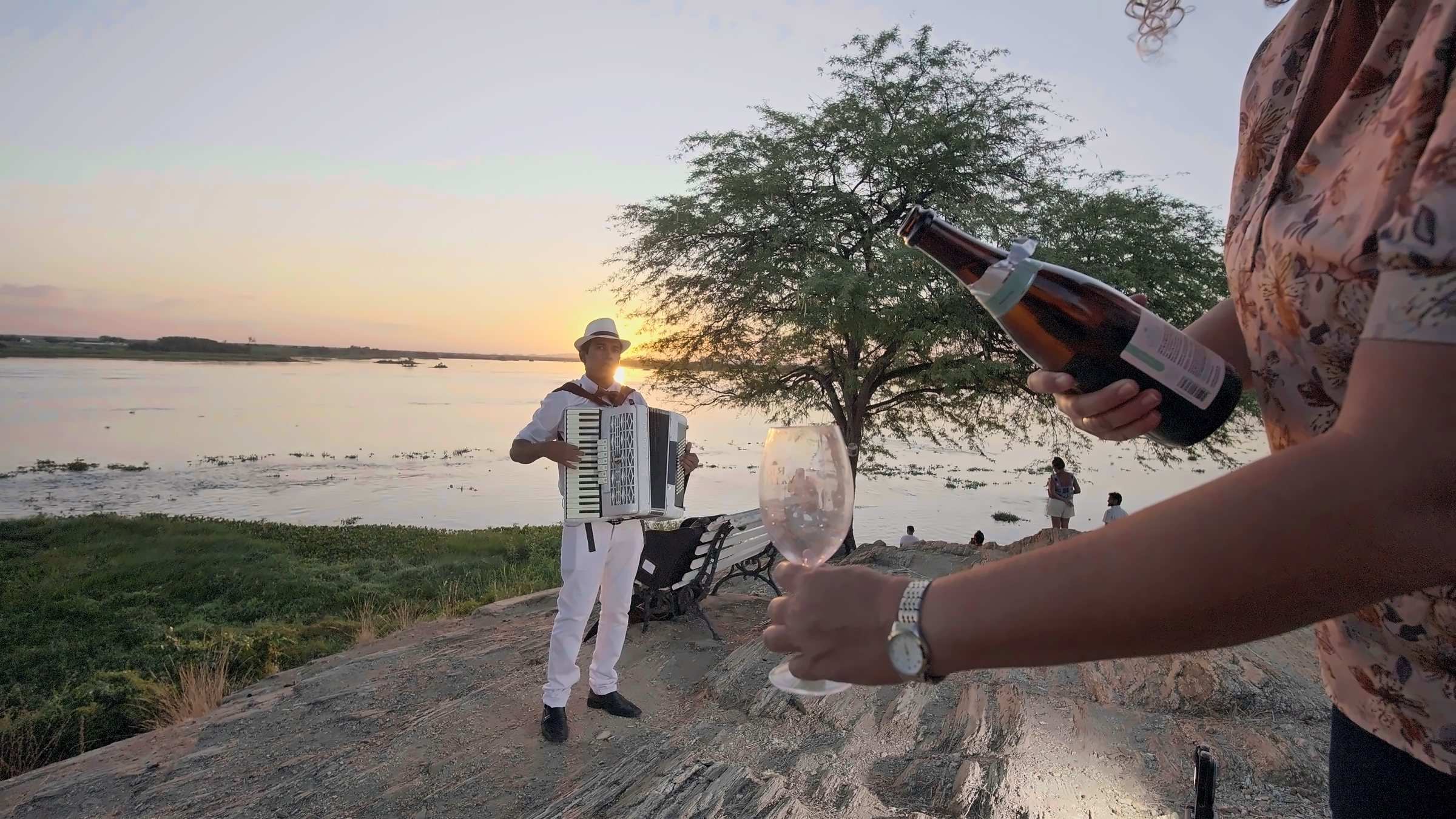
The spectacle of sunset over the Velho Chico, the final stop on the Entre Ilhas e Parreirais route.
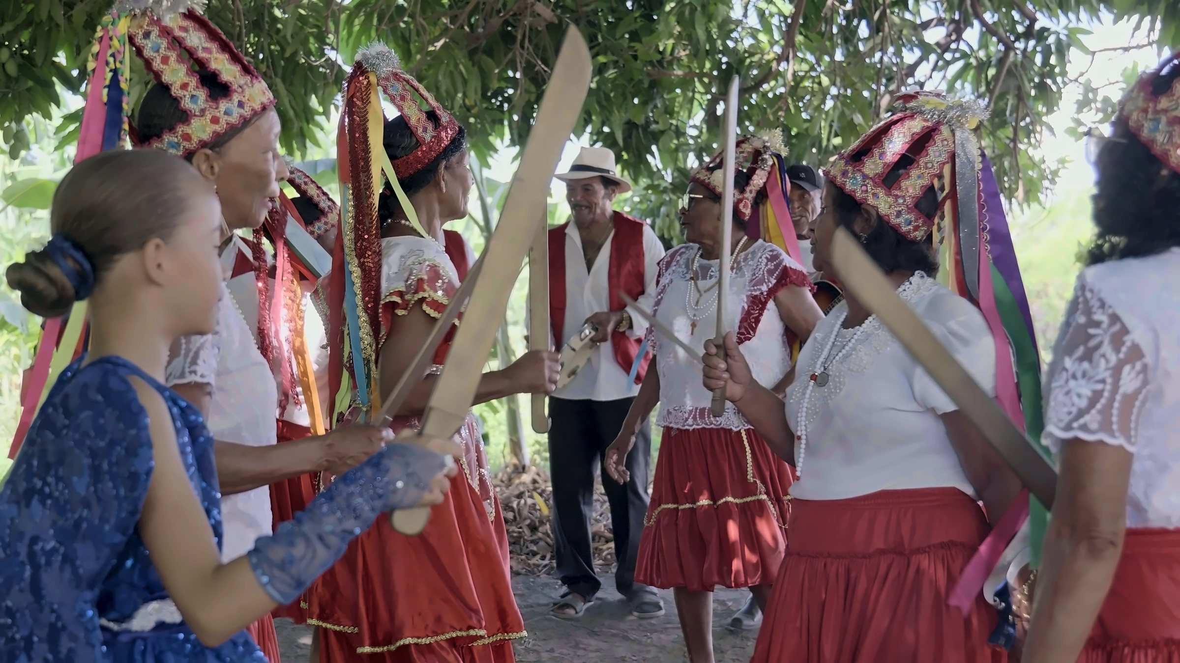
Reveals the strength of quilombola memory and identity.
Traditional community: visits are arranged with residents.
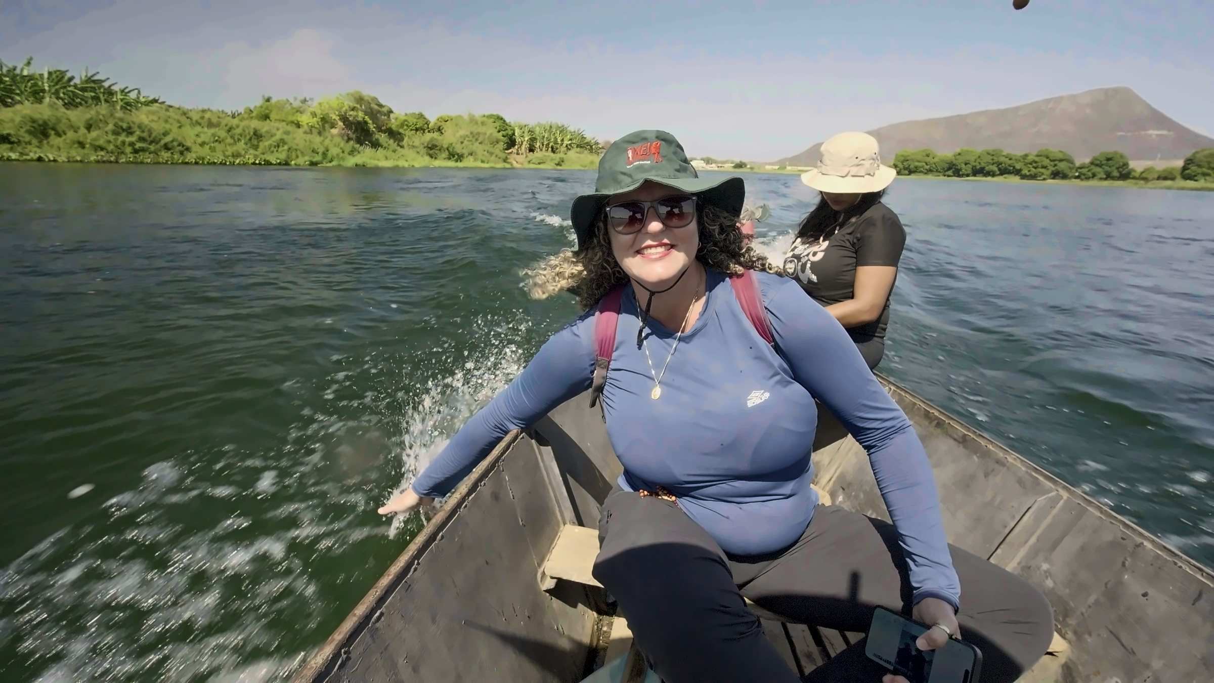
An island in the Velho Chico and territory of the Truká Indigenous community.
Traditional community: visits are arranged with residents.
Leisure and contact with the waters of the Velho Chico.
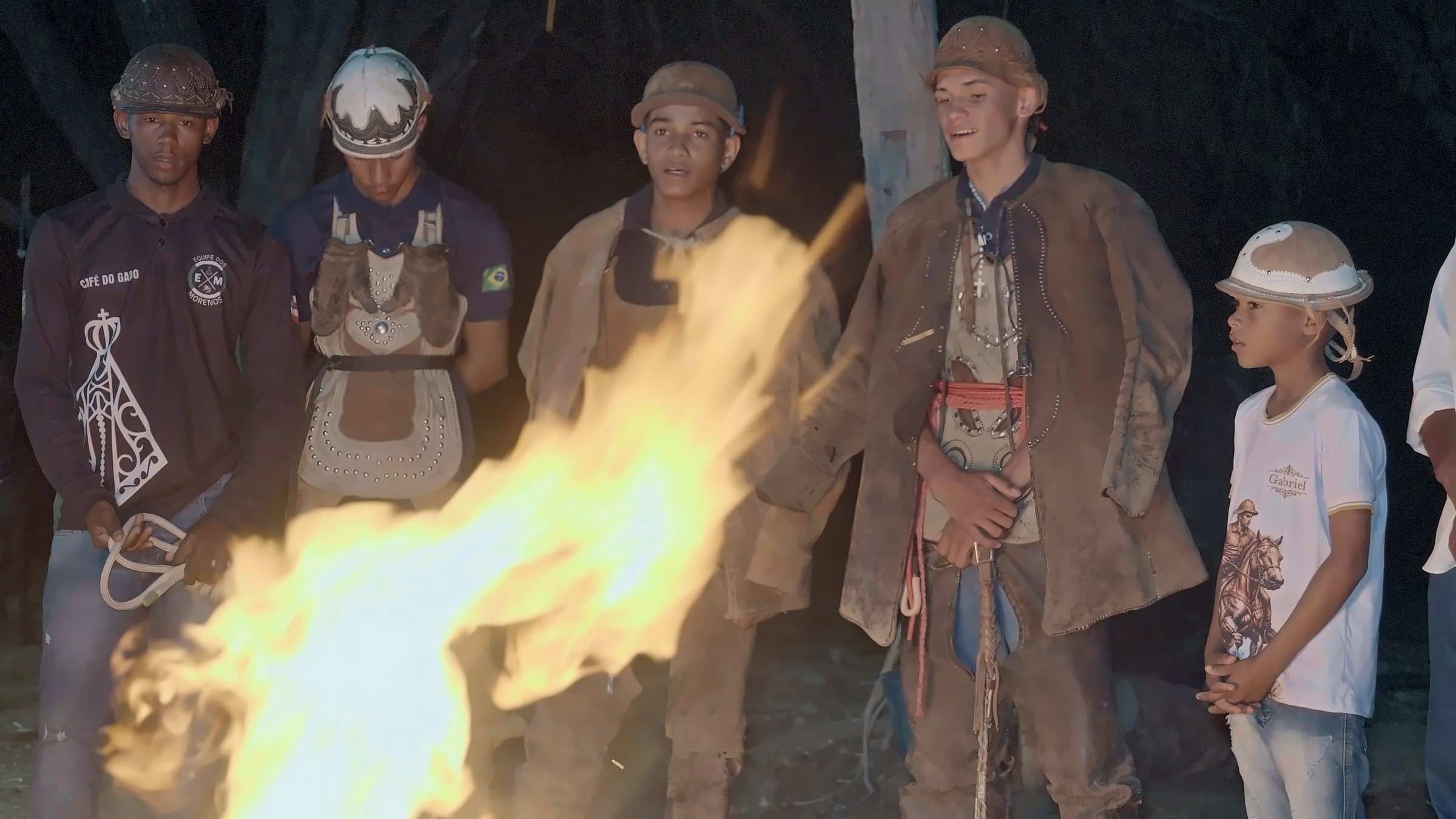
The strength of Sertão traditions in the voices of the vaqueiros.
Five quilombola communities that share their knowledge, food and crafts.
Traditional community: visits are arranged with residents.
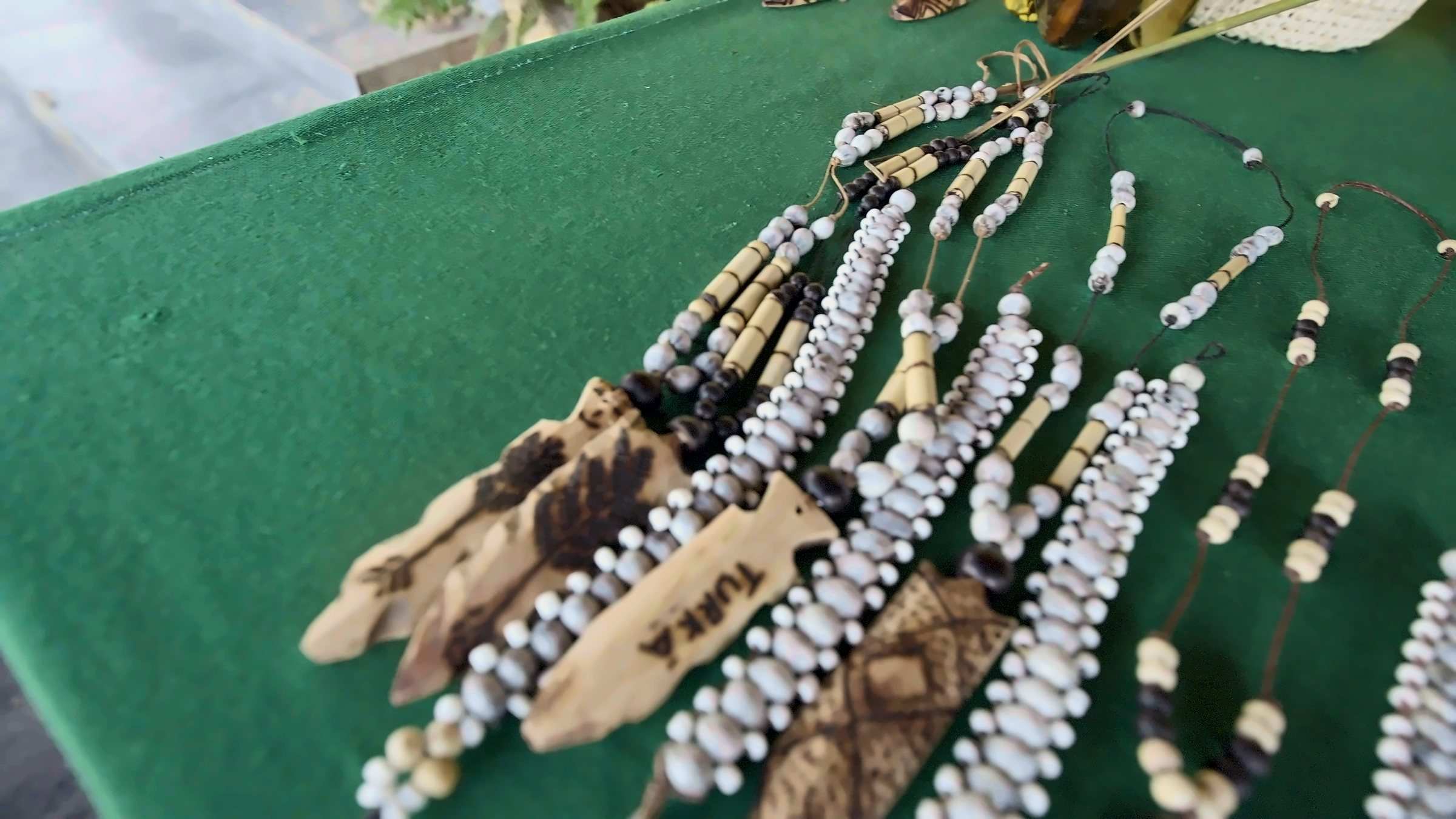
An island in the Velho Chico and territory of the Truká Indigenous community.
Traditional community: visits are arranged with residents.
Cabrobó’s religious heritage.
Fish farming on the banks of the river.
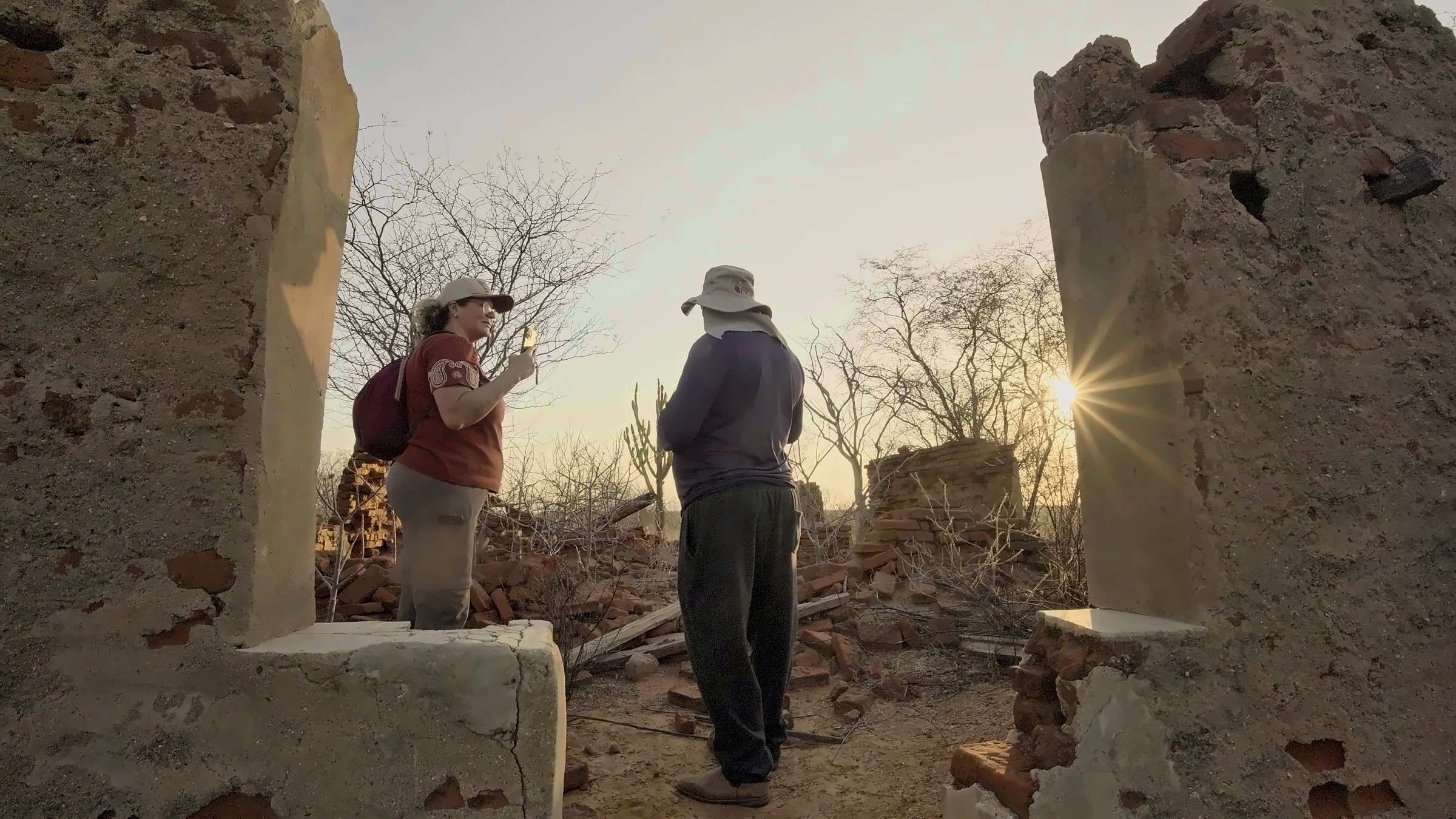
Quilombola communities that welcome visitors through community-based tourism experiences.
Traditional community: visits are arranged with residents.
Paths that reveal mango growing, local history and identity.
A walk through the town’s traditions and heritage.